SPEC_CODE: SK-PD-09
COORD LOCK // 45.8327° N, 6.8650° E
Premium Art_Object
The Trail Tile
Custom 3D Terrain Relief
From $69.00
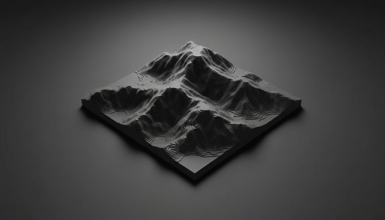
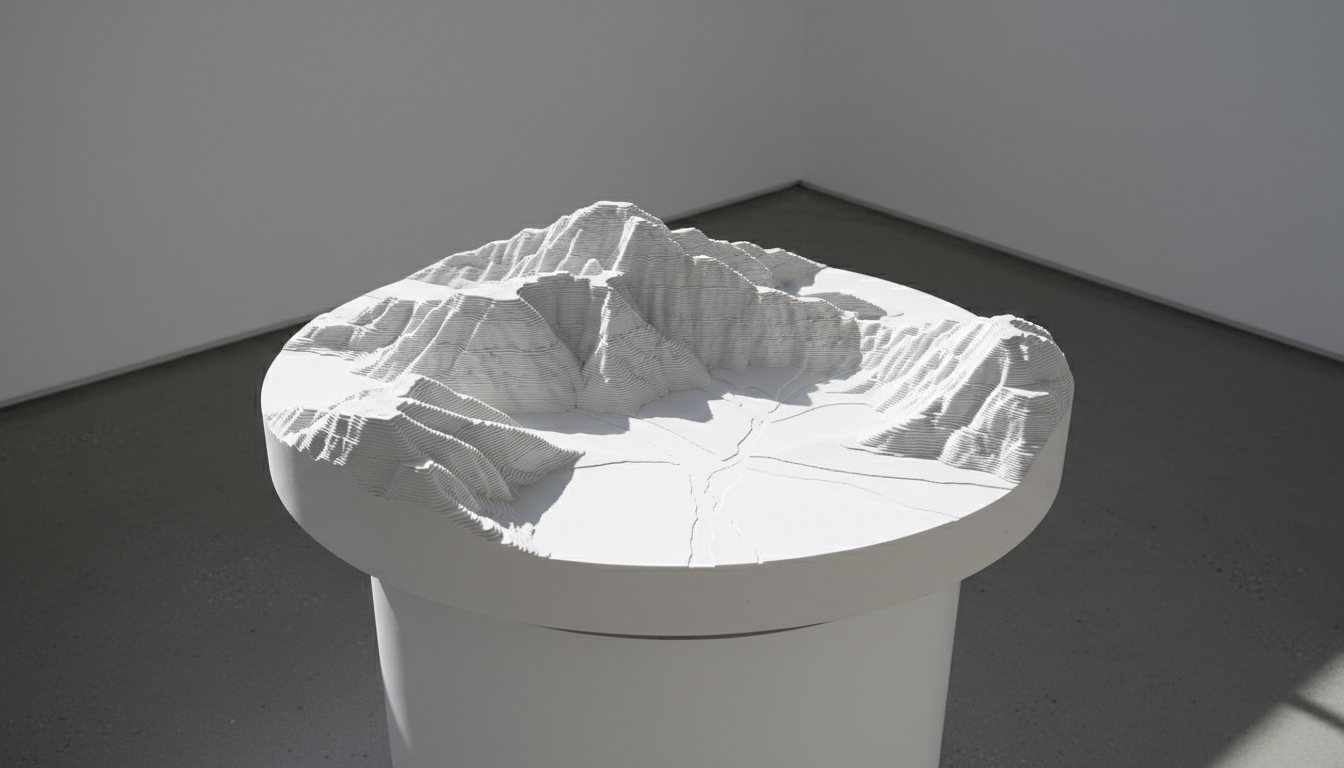
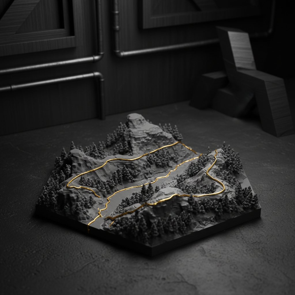
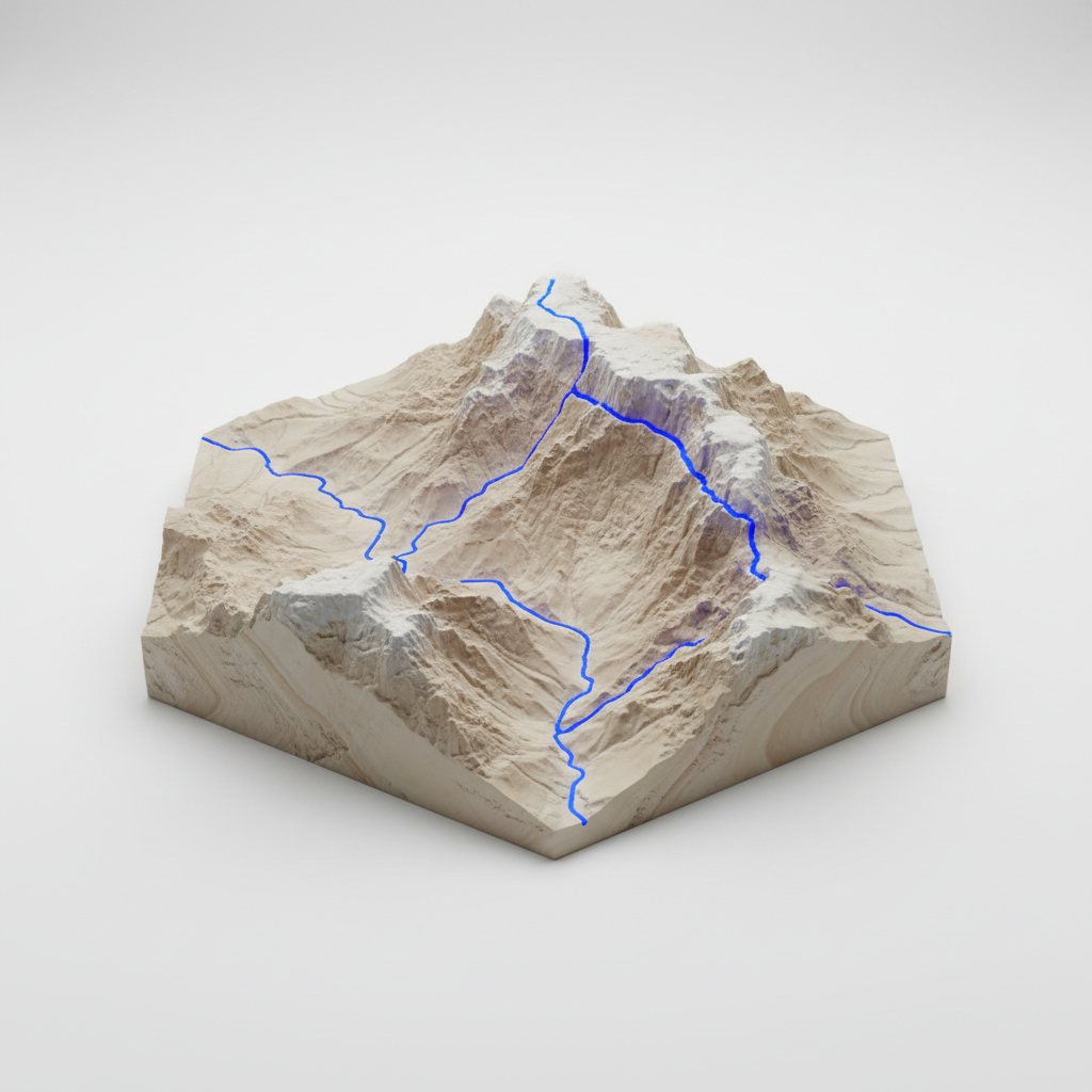
Your real hiking route transformed into a precision 3D-printed terrain model. Every contour, every elevation change, captured in stunning detail from your personal GPX data.
- FAB_MATERIAL
- Industrial Composite PLA
- Z-PRECISION
- 0.05mm Layers
- WEIGHT
- ~120g Solid Infill
- QUEUE TIME
- 5 Business Days
The Cartography of Adventure
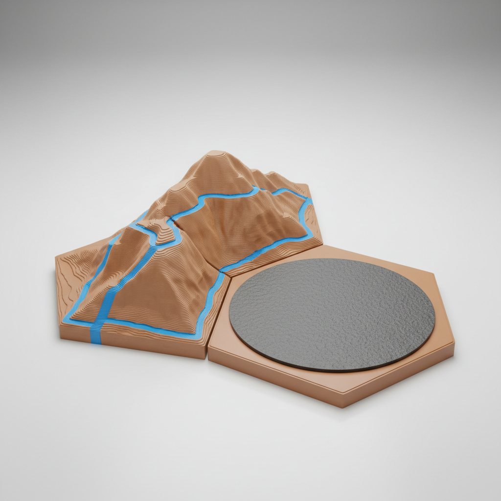
Our proprietary rendering software ingests raw GPS/GPX telemetry files and converts coordinates into exact GIS elevation models. The sintered trail path overlays directly onto the micro-terrain with micron accuracy, offering a stark colored focal path across your peaks and valleys.
- Heli-scanned 10m Elevation resolution
- Optional flush-embedded rare earth backing
- Material
- Industrial composite PLA, matte finish
- Layer height
- 0.05 mm Z-precision
- Sizes
- S 120 mm · M 180 mm · L 250 mm
- Depth
- 45 mm including base
- Frames
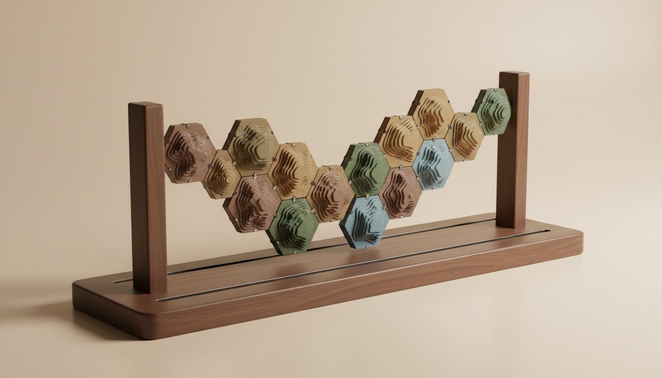
- Hexagon, square or round
- Elevation source
- 10 m resolution GIS elevation data
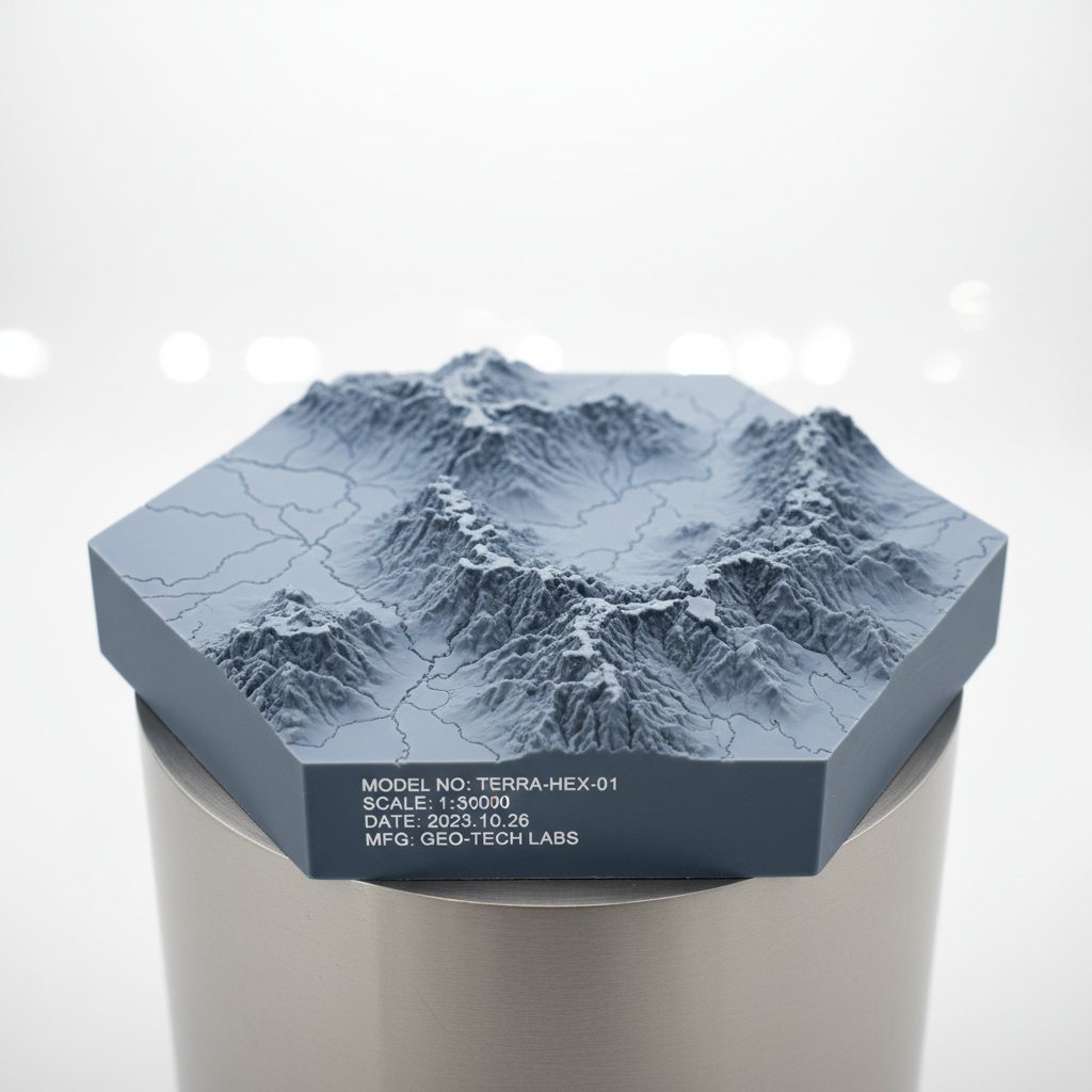
- Engraving
- Title, coordinates and trail statistics
- Mounting
- Optional flush rare-earth magnet backing
-
“The detail on the ridgelines is unreal. It looks like a piece of the mountain on my desk.”
Maya K. · Qadisha Valley
-
“Uploaded my watch GPX and the path matched every switchback. Packaging felt premium too.”
Tom R. · Tour du Mont Blanc
-
“Ordered three for our team after the trek. Great gift, great finish.”
Lina H. · Lebanon Mountain Trail
SIMILAR ARTIFACTS