
Bespoke Fabrication Lab
Your Idea.
Our Craft.
Fusing raw spatial telemetry with industrial-grade fabrication. We partner with architects, organizations, and adventurers to build millimeter-exact physical models, corporate awards, and large-scale spatial installations.
- MAX FORMAT
- 1.5M MONOLITHIC
- ENGINEERING
- SOLID CAD / SLA
- TIMELINE
- FAST-TRACK ROUTE
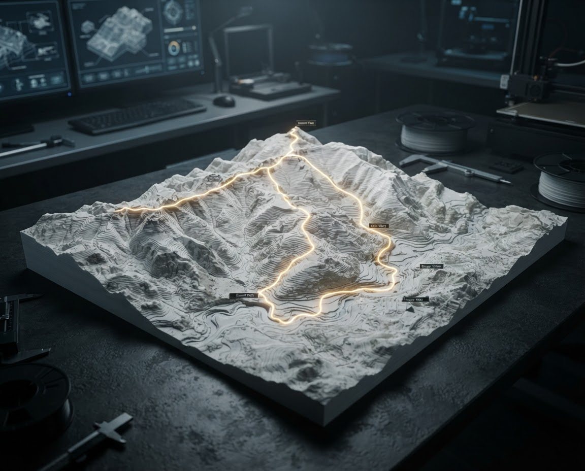
STUDIO_PROJECT_PREVIEW // MULTI_TILES
COORD: 33.8938° N / 35.5018° E
Our Expertise
Custom Project Spectrum
Beyond individual Trail Tiles, we design and manufacture complex spatial and structural hardware objects.
-
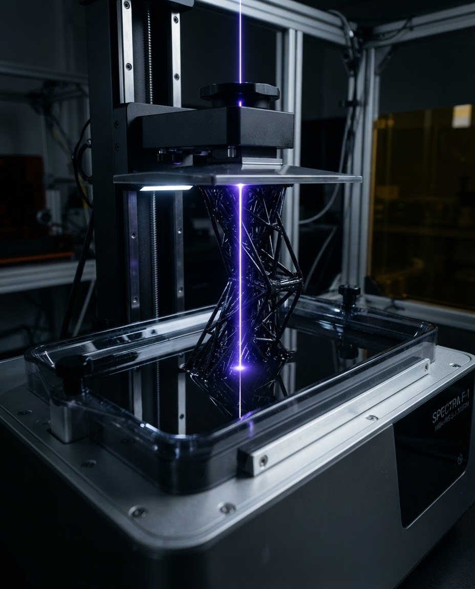
01 / SERVICE
Bespoke CAD Lab
Transforming raw conceptual briefs, architectural blueprints, or specialized GIS elevation files into fully optimized physical files.
-
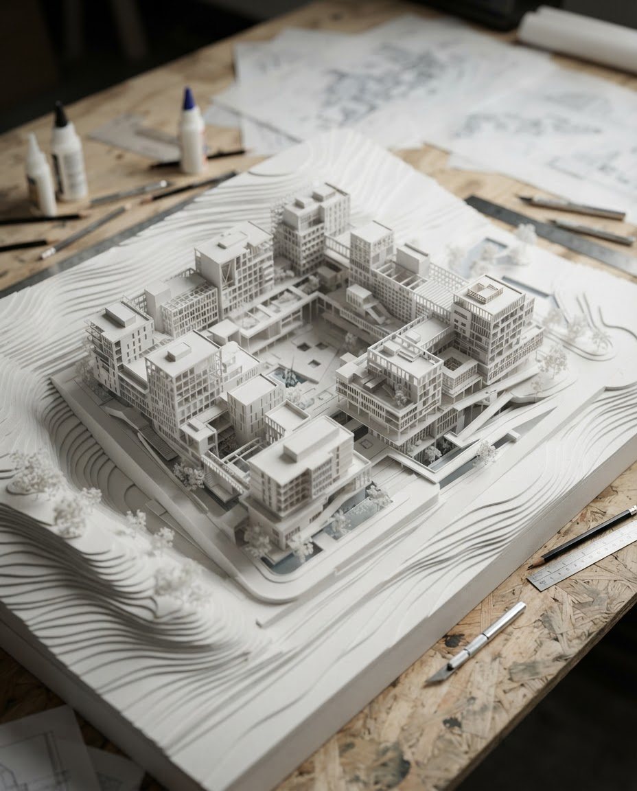
02 / FORMAT
Architectural Scale Models
High-fidelity relief layouts for presentation suites, municipal offices, and historical landscape documentations.
-
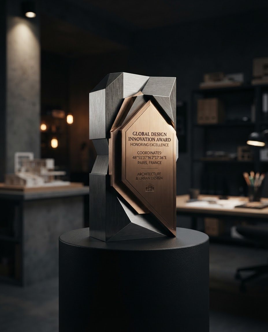
03 / EDITION
Enterprise Milestones
Custom corporate gifts, board room features, and premium high-altitude record celebration plaques for teams.
-
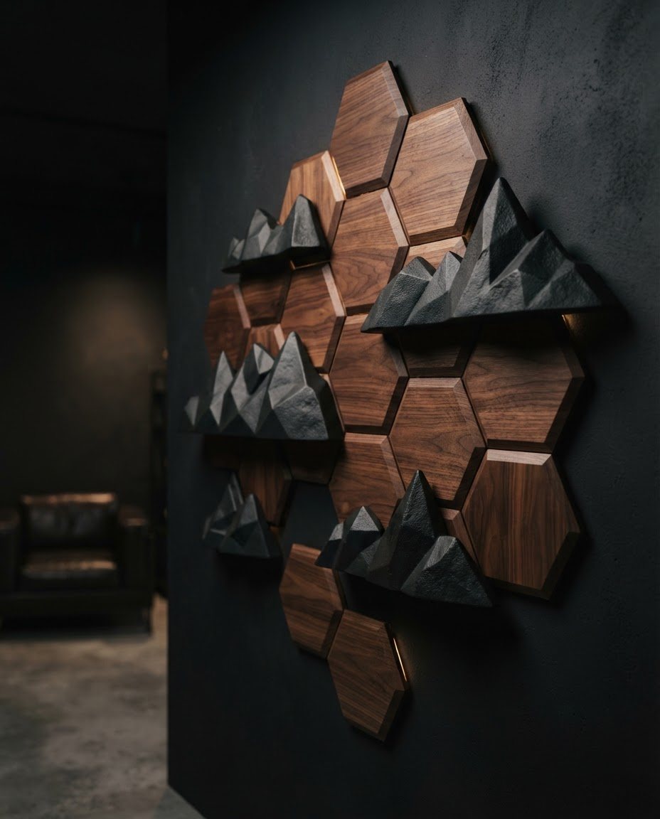
04 / GALLERY
Fabrication Portfolio
Modular panel installations with neodymium mounts, integrated warm LED backlights, and luxury walnut wood rails.
Methodology
From Data to Artifact
A highly collaborative three-step engineering loop designed for extreme precision.
-
01
Define Project Scope
Submit raw GPS tracks, 2D coordinates, material preferences, and architectural bounds via our digital form.
-
02
Compute & Prototype
Our CAD lab maps coordinate structures and compiles a virtual interactive mesh render to inspect digital accuracy.
-
03
Fabricate & Deliver
SLA printing, laser micro-sintering of metadata paths, manual surface finishing, and safe custom foam delivery.
Interactive Brief Intake
Custom Intake Flow
Let's configure your physical artifact
Our bespoke specialists review GIS structures, custom wood species integration, and industrial scaling parameters manually for every incoming request.
- Manual GIS telemetry validation
- Material customization consultation
- Interactive virtual 3D rendering preview
- 24-hour initial lab response window
SUPPORTED FILE FORMATS
GPX, FIT, TCX (GPS watch telemetry), DXF, DWG, STEP, STL (CAD spatial layouts), PDF (Blueprints), PNG, JPG (Visual references). Max file size: 50MB.
LAB RESPONSE WINDOW: < 24 HOURS
- ACME_ARCHITECTS
- SUMMIT_COLLECTIVE
- TELEMETRY_STUDIOS
- LEBANON_3D